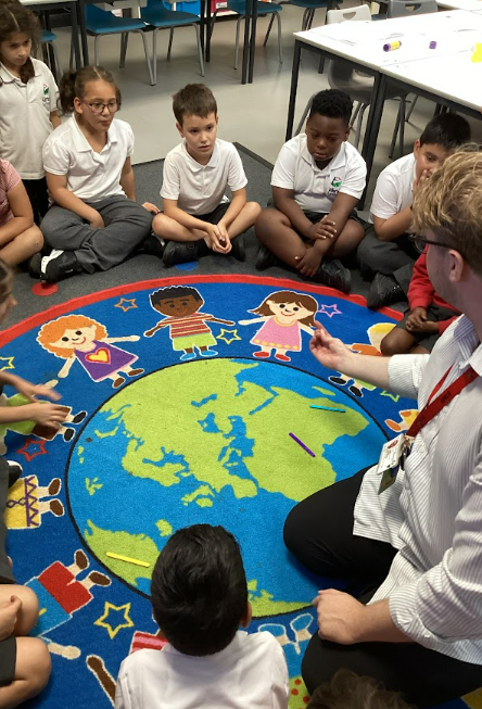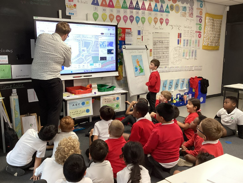
This week in geography, our Year 2s tackled a big concept: how we fit into the wider world. We started by recapping the four countries of the UK—and their capital cities—before narrowing our focus right down to our home city of Leeds.
While looking at a map of the UK, one student raised a brilliant question: “Why does Leeds look so tiny on the map when it’s actually huge?”
It was the perfect moment to talk about scale. To help them visualize it, we pulled out a whole range of maps, from massive wall maps down to detailed local street guides. The real lightbulb moment came when we pulled up digital maps on the screen. The children watched in awe as we zoomed out to see the entire UK, then zoomed right in until we could spot familiar streets, landmarks, and even the outline of our school grounds.
Watching their eyes light up as they realized how maps represent real-world spaces was fantastic. Questions like that show they aren’t just memorizing facts—they’re truly beginning to think like young geographers.